

- Out-of-Stock
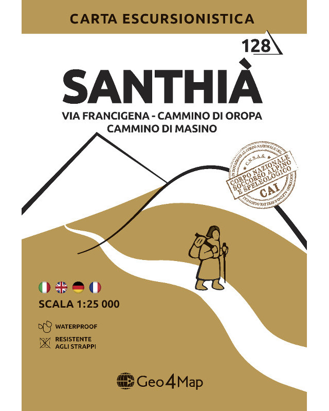

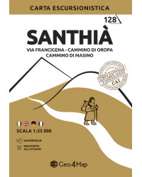
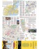
Santhià hiking map:
Via Francigena (Bollengo - San Germano Vercellese section), Cammino di Oropa (Santhià - Magnano section), Cammino di Masino, Lago di Viverone, Lago di Bertignano.

Shipments
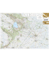
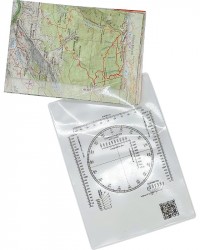
The Geo4Map hiking map is made at 1:25,000 scale with the WGS84 UTM zone 32N reference system, with a wide representation of the territory in color with an easy-to-fold accordion fold.
Cartographic contents:
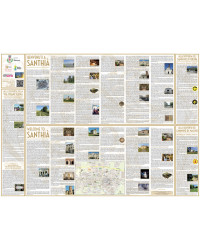
On the back:
The geo-referenced cartographic bases are supplied to the National Alpine and Speleological Rescue Corps to allow better communication between rescuers and hikers in difficulty.
Printed on:

Available in digital format on:
![]()
![]()

Santhià hiking map:
Via Francigena (Bollengo - San Germano Vercellese section), Cammino di Oropa (Santhià - Magnano section), Cammino di Masino, Lago di Viverone, Lago di Bertignano.