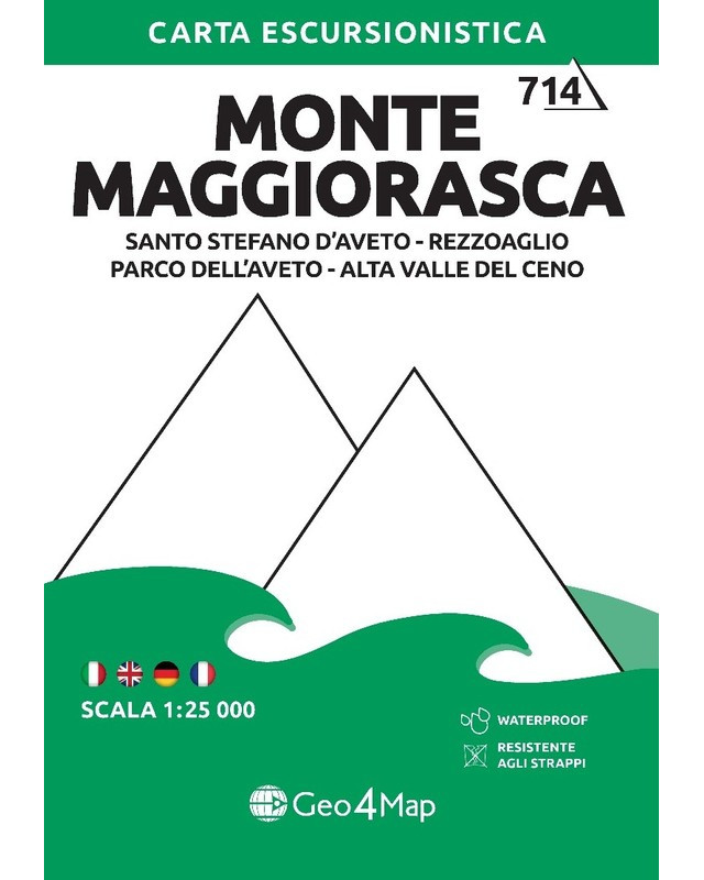
Monte Maggiorasca (714)
9788899606725_2023
Monte Maggiorasca hiking map:
Santo Stefano d'Aveto, Rezzoaglio, Parco dell'Aveto, Alta Valle del Ceno.

Shipments
The Geo4Map hiking map is made at 1:25,000 scale with the WGS84 UTM zone 32N reference system, with a wide representation of the territory in color with an easy-to-fold accordion fold.
Cartographic contents:
- All paths indicated according to difficulty;
- Closely visible coordinates for use in conjunction with GPS;
- Level curves at 20 metres;
- Three-dimensional model of the terrain;
- Hand-drawn rock details;
- Topographic information such as rivers, mountains, towns, roads enriched by other elements such as cliffs and cycle paths;
- Legend in four languages: Italian, English, German and French.
On the back:
- How to read a map, use of the compass, orientation notions and the most common nodes;
- Useful information for first aid: make an emergency call, first assist yourself or injured people or deal with inconveniences such as insect bites, cuts and illnesses;
- The contents are in three languages: Italian, English and German.
Printed on:

Available in digital format on:


You might also like
-
Cinque Terre (721)€12.00 -20% €9.60
-
Liguria - Map&Guide€9.90 -20% €7.92
-
Le Vie del Sale (F5)€8.00 -20% €6.40
-
Le Vie del Sale (F7)€8.00 -20% €6.40
-
Le Vie del Sale (F8)€8.00 -20% €6.40
-
Le Vie del Sale (F9)€8.00 -20% €6.40
-
Le Vie del Sale (F10)€8.00 -20% €6.40
-
Le Vie del Sale (F11)€8.00 -20% €6.40
-
Parco Naturale Regionale di...€8.50 -20% €6.80
-
Le Vie del Sale (1)€8.00 -20% €6.40
-
Le Vie del Sale (2)€8.00 -20% €6.40
-
Le Vie del Sale (3)€8.00 -20% €6.40
-
Le Vie del Sale (4)€8.00 -20% €6.40
-
Passo del Bracco (716)€12.00 -20% €9.60
-
Golfo della Spezia (722)€12.00 -20% €9.60

